

Total Land Surveying. From
Montauk to Manhattan.

A precise land survey protects your investment. For over 50 years the Ferrantello Group has delivered accurate, on-time surveys across Long Island and New York City — from single-family fence lines to 50-story high-rises.

About the Firm

A full-service Long Island surveying firm built on precision and trust.

Ferrantello Group, P.C. is a multi-faceted, full-service land surveying company with engineering consulting available for projects of every scale. We serve landowners, lenders, title companies, real estate firms, architects, engineers, contractors and developers across New York.

Our extensive network with municipality and county governments across New York helps our clients access the additional resources their projects require — from first sketch to final submittal.

Our promise

“No job too big or too small — 50×100 to 50 stories.”

About the Firm

A full-service Long Island surveying firm
built on precision and trust.

From boundary staking to high-rise construction layout, our licensed team delivers the accuracy your project depends on.

LAND SURVEYING MAPPING

LAND SURVEYING MAPPING

A survey made for the purpose of supplying a title company and lender with survey and location data necessary for the issuing of title and/or mortgage insurance.
Read More

CONSTRUCTION LAYOUT HIGH-RISE SERVICES

CONSTRUCTION LAYOUT HIGH-RISE SERVICES

Construction surveying is the process of translating construction plans into physical points on the ground that is used as a basis for the actual construction.
Read More

PROPERTY BOUNDARY LINE SURVEYING

PROPERTY BOUNDARY LINE SURVEYING

The main objective of a boundary survey is to determine the location of land ownership lines. The initial phase includes land records research.
Read More

EXPERT WITNESS SURVEYING MAPPING TESTIMONY

EXPERT WITNESS SURVEYING MAPPING TESTIMONY

Analysis of various legal descriptions and survey maps; field locating of record, existing monuments, and physical features; and mapping showing this information for the purpose of presenting a visual ...
Read More

FLOOD MAPPING & FEMA CERTIFICATION

FLOOD MAPPING & FEMA CERTIFICATION

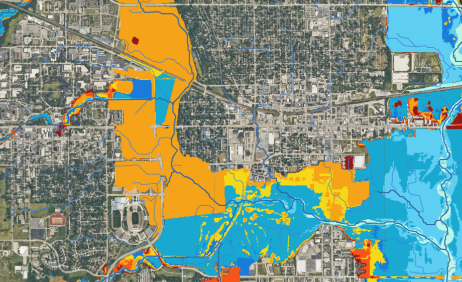
Elevation surveys determine the elevation of various sections of a building or land. Typically these are used to aid in building plans and to determine if a property is in a flood zone.
Read More

SITE PLANNING & SUBDIVISION CONSULTING

SITE PLANNING & SUBDIVISION CONSULTING

A combination of boundary and topographic surveys for preparation of a site plan to be used for designing improvements or developments, and obtaining government building permits.
Read More

120+

Happy Customers

352

Projects Completed

12

Awards Received

15

Years In Service

Why clients choose us

The most trusted name in New York land surveying

With more than five decades of continuous service, Ferrantello Group has built a reputation on three principles: train and develop our people, earn intense customer loyalty, and diversify our work. That’s why architects, developers, title companies and homeowners return to us project after project.

50+ Years Experience

Half a century surveying every corner of New York.

NY-Licensed Surveyors

Every survey is signed and sealed by a licensed professional.

Hands-On Attention

Direct communication with the surveyor working on your project.

On Time, On Budget

Precise schedules and pricing that respect your project.

Our Happy Clients!

"Lectus, nonummy et. Occaecat delectus erat, minima dapibus ornare nunc, autem."​
Ron Burnwood
"Lectus, nonummy et. Occaecat delectus erat, minima dapibus ornare nunc, autem."​
Lily Granger​
"Lectus, nonummy et. Occaecat delectus erat, minima dapibus ornare nunc, autem."​
Jeson Foxx

What Clients Say

Ready for your next NYC matter?

Whether you’re evaluating a sidewalk claim, untangling a boundary dispute, or need a qualified expert witness for trial, Expertmapco is ready to mobilize.

Associated with